


November 2, 2026
Agriculture: Root-Zone Intelligence from Field to Decision
A grower's guide to monitoring zones, irrigation response, salinity and location-specific GAIN intelligence—with measured soil conditions kept distinct from forecasts and planning estimates.
Start with the roots, not the calendar
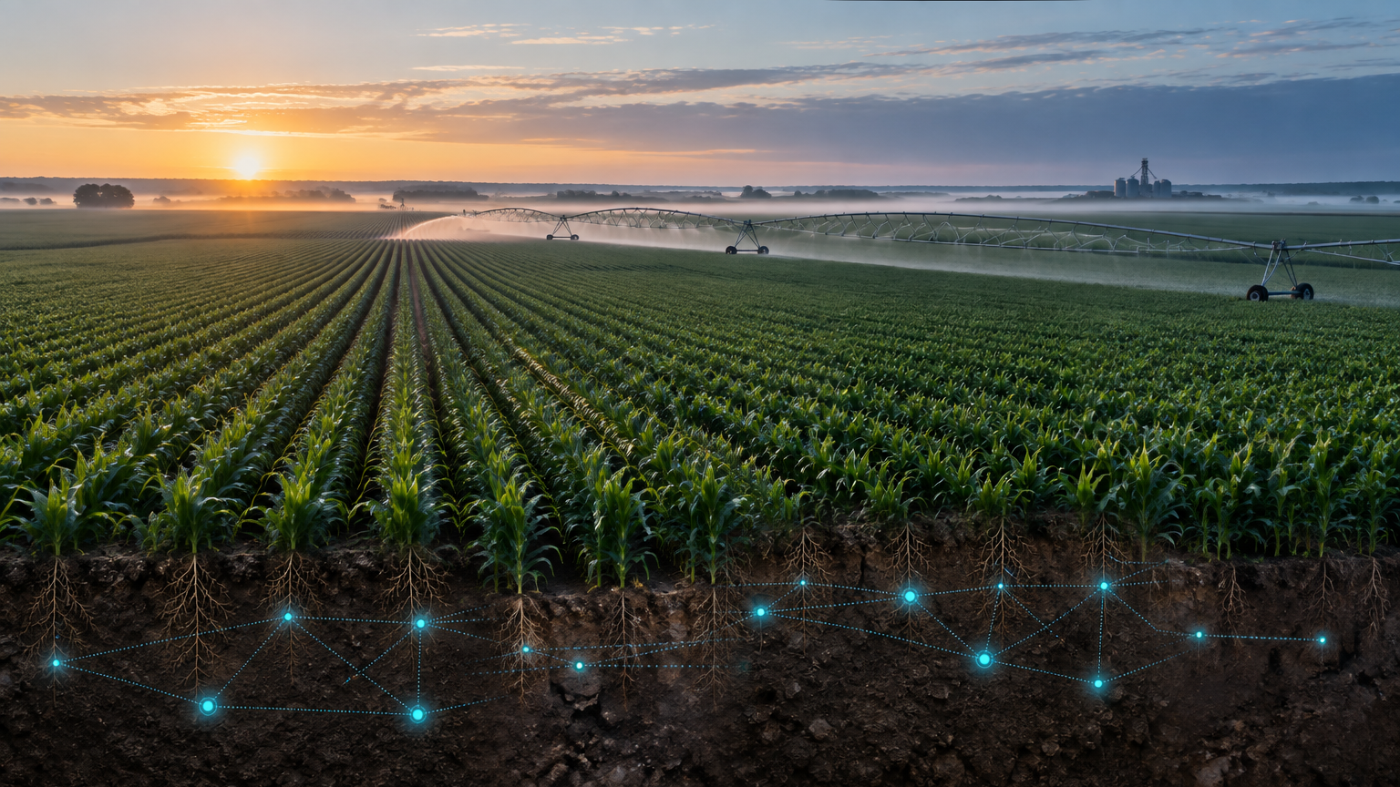
A forecast describes the atmosphere. An irrigation schedule describes an intention. Neither confirms how much water reached the active root zone. Across row crops, groves and perennial plantings, the useful question is what the soil is doing between applications—and whether the crop can access the water that remains.
Soil texture, rooting depth, growth stage and irrigation method all influence that answer. A wet surface can sit above a dry root zone; a dry surface can sit above stored moisture. Repeated observations at relevant depths help growers distinguish those situations rather than treating appearance as a complete water balance. USDA Climate Hubs describes soil-moisture monitoring as a tool for irrigation management, used alongside field knowledge and other observations.
One farm. Different water stories.
Begin with management zones, not an arbitrary number of sensors per acre. Separate contrasting soil textures, slopes, irrigation blocks, crop ages and drainage conditions. Include representative locations and known problem areas, while keeping their roles distinct: a deliberately dry edge should not be mistaken for an average block.
Placement must match the question. Near a drip emitter, distance from the wetted bulb changes what a reading represents. Under sprinklers, coverage and application uniformity matter. In mature olives or date palms, the active roots may extend well beyond a shallow surface check. Plan depths and positions with the grower or agronomist, confirm soil contact, and record the installation so future comparisons remain meaningful. One sensor does not measure every point in a field.
Four readings. One connected interpretation.
GX-1 series sensors report volumetric water content, soil temperature, electrical conductivity associated with salinity, and dielectric conditions. Volumetric water content describes the fraction of soil volume occupied by water. It is not, on its own, a universal measure of plant-available water: soil-specific retention characteristics and crop rooting conditions are needed to interpret it.
Dielectric permittivity responds strongly to water in the soil and supports moisture estimation through calibration. It does not directly translate into a drinking-water quality score or identify a contaminant. Conductivity adds a different piece of evidence: dissolved ions influence electrical behavior, but moisture, temperature and soil properties also affect the reading. Interpret those signals together, at a fixed location, rather than calling every conductivity change a new salt problem.
These measurements are not direct tests of nitrogen, phosphorus, potassium, pathogens, pesticide residues or sodicity. Laboratory water and soil analyses remain necessary when a decision depends on a particular ion, contaminant or nutrient concentration.
Read the response after rain or irrigation
A useful record connects each irrigation or rainfall event to what happened below it. Compare conditions before the event, the rise in moisture afterward, and the subsequent decline at monitored depths. Where multiple depths are instrumented, differences in response can help a team investigate water movement and storage. They do not independently prove a leak, drainage failure or exact volume of deep percolation.
A location that stays wet warrants a different investigation from one that barely responds. Check emitters, distribution, soil contact, infiltration and local drainage before changing the schedule. Combine the readings with crop stage, field inspections and weather-based evapotranspiration estimates. Set operating thresholds for the actual soil and crop with qualified advice; there is no single moisture percentage or run time that suits every farm.
When water is present but salts still matter
Plants remove water through uptake and water also leaves through evaporation, while many dissolved salts remain behind. Repeated applications of saline irrigation water can therefore increase the salt burden unless salts move out of the active root zone through adequate drainage. Salinity can make water harder for plants to take up even when the soil contains moisture. FAO's Water Quality for Agriculture explains salinity, infiltration and specific-ion problems as separate considerations.
Track conductivity in moisture and temperature context, then confirm concerning trends with appropriate samples. Bulk soil conductivity, irrigation-water conductivity and laboratory saturated-paste extract conductivity are different measurements; crop-tolerance tables cannot be applied interchangeably to them without a validated interpretation. Sodium-related infiltration problems require additional assessment, such as sodium adsorption ratio, not EC alone.
Leaching is not simply a command to add more water. It depends on water quality, crop sensitivity, drainage, water availability and local environmental requirements. A qualified agronomist should assess the plan. Sensor trends can help evaluate the response, but GroundWorx does not prescribe a universal leaching fraction or promise that more irrigation will solve a salinity problem.
Ground truth trains location-specific intelligence
GAIN combines measured root-zone history with weather information and site context to learn each location's behavior. GroundWorx's 30-day predictive journey emphasizes learning a local baseline rather than assuming every field responds the same way. Predictive guidance remains an estimate, not a guaranteed outcome; changing crops, seasons or management can require renewed review of that baseline.
Three-day and seven-day IN-GROUND forecasts are working in field testing and pending release. They forecast root-zone conditions, not merely the weather above a farm. No release date or accuracy guarantee is announced here. Weather forecasts and evapotranspiration estimates remain separately identified inputs; neither is a measured soil reading.
GAIN's alerts and field tasks support people responsible for decisions. Crews can inspect a flagged location, record an action and compare subsequent observations. This is decision support—not a claim that GroundWorx directly operates every irrigation controller or integrates with every farm platform. API documentation and proposed connections should be reviewed with the GroundWorx team.
Match the hardware to the field question
GX-1A (Adjustable) supports soil and turf monitoring. GX-1F (Flex-cord) provides flexible sensing placement for deeper-rooted crops and high-value trees. A flex cord places a sensing element at a selected depth; it should not be interpreted as continuously measuring every inch along the cord. Use the current installation guidance to confirm a deployment that matches the root zone and working equipment.
The iQ1 and iQ2 SmartTowers extend the network into agricultural settings with elevated cellular communications. LTE is the current connection; direct satellite NTN fallback is under development. The separate iQ Environmental Tower remains a development-stage prototype, not a shipping field installation. Hardware choice and connectivity should be checked against the actual site before a deployment is agreed.
Build a field record you can defend
Define the decisions first: when to inspect, which blocks need a closer check, and how to evaluate irrigation changes. Record crop and soil context, sensor positions and depths, irrigation events, rainfall and operational changes. Review baselines before expanding. Keep direct measurements separate from estimates, and preserve missing-data periods rather than filling gaps with invented readings.
Evaluate conservation with metered water use over a stated area and period. Consider crop changes, rainfall, irrigation constraints and yield or quality records when comparing seasons. A planning calculator is not a measured result, and a result on another property is not a guarantee for a farm. GroundWorx does not claim a fixed agricultural water-savings percentage, yield increase or carbon reduction in this guide.
The goal is a clearer chain of evidence: observe the root zone, review the context, make a human decision, and check what happened next. That is how sensing becomes useful agricultural intelligence—one management zone at a time.
Sources & further reading
- USDA Climate Hubs · Soil Moisture Sensors: A Tool for Smart Irrigation Management Decisions ↗
- FAO · Water Quality for Agriculture, Irrigation and Drainage Paper 29 Rev. 1 (1985; reprinted 1989, 1994) ↗
General educational references, not endorsements of GroundWorx or a site-specific agronomy prescription.